This bare-bones blog will address zoning and boundaries in and around the Haller Lake neighborhood, which lies between Northgate Way and Shoreline and extends from SR99 (Aurora Avenue North) and 15th Avenue Northeast.
Due to a Seattle City mapping error most of the maps available on the Seattle.gov website portray the eastern boundary to be I-5, and subsequently so do maps at such sites as Wikipedia, Google maps, Yahoo maps and the maps used by real estate companies. While it may be possible to correct all these maps, it's a daunting proposition.
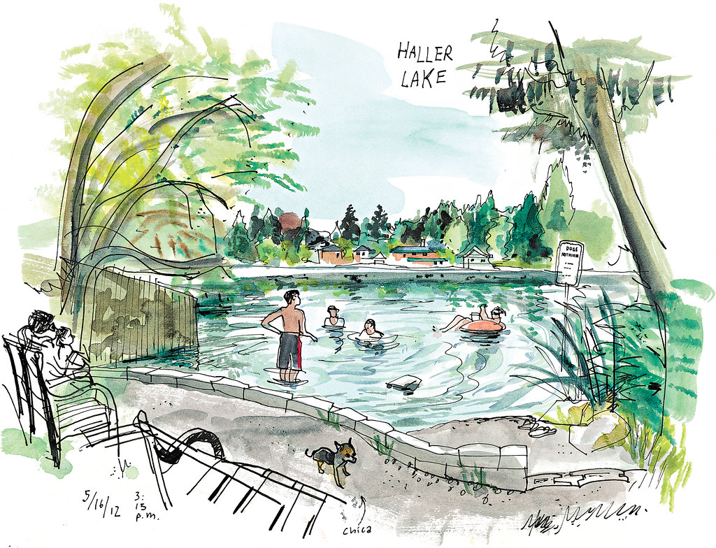
The western portion of this neighborhood is home to the Haller Lake Community Club, Haller Lake Access Park and Northacres Park.
The eastern portion of this neighborhood is shared with the Pinehurst neighborhood and is the location of Jackson Park, one of Seattle's largest, the home to Jackson Park Golf Course, which occupies almost all of Haller Lake's northeast quadrant. In the southern portion of this area is the recently opened Hubbard Homestead Park.
Much of the Haller Lake neighborhood lies directly north of Northgate Urban Center which overlaps the two blocks up to 112th Street and actually extends north and west to enclose the UW Medicine/Northwest Hospital campus. Almost all of the neighborhood is also located in the "Northgate Overlay", a geographical area created by the City to allow Northgate to exert some political control of abutting and surrounding neighborhoods.